Among the objectives of the “MY GEO” project is the aim to foster the employability of students in higher education by promoting the acquisition of key skills related to the use of Geographic Information Systems (GIS) tools.
In this sense the consortium will realise, among others, the”Portfolio MY GEO”: an Intellectual Output aimed at fostering the capacity of University students to demonstrate and present to employers the skills acquired through the use of GIS applications.
The “Portfolio MY GEO” will be finalised through a set of preparatory steps actively involving companies making use of GIS tools and a representation of the outputs’ main target group: University students. A detail of the preparatory steps can be consulted in the page dedicated to “Portfolio My Geo” Intellectual Output.
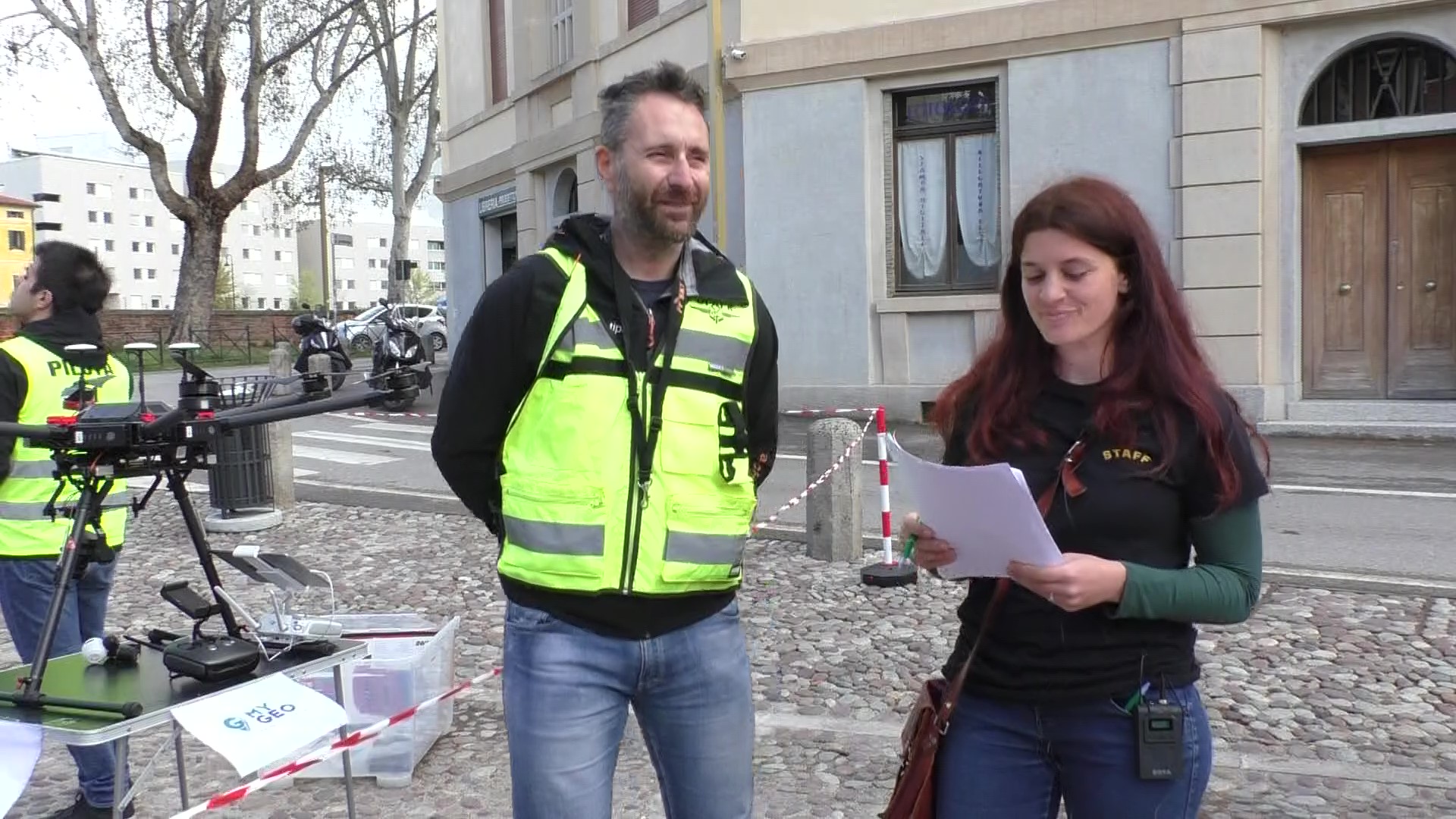
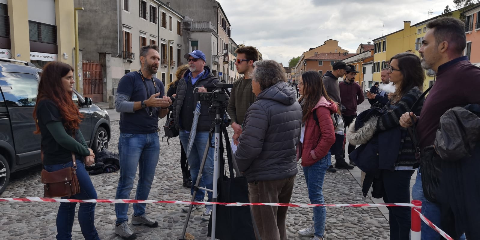
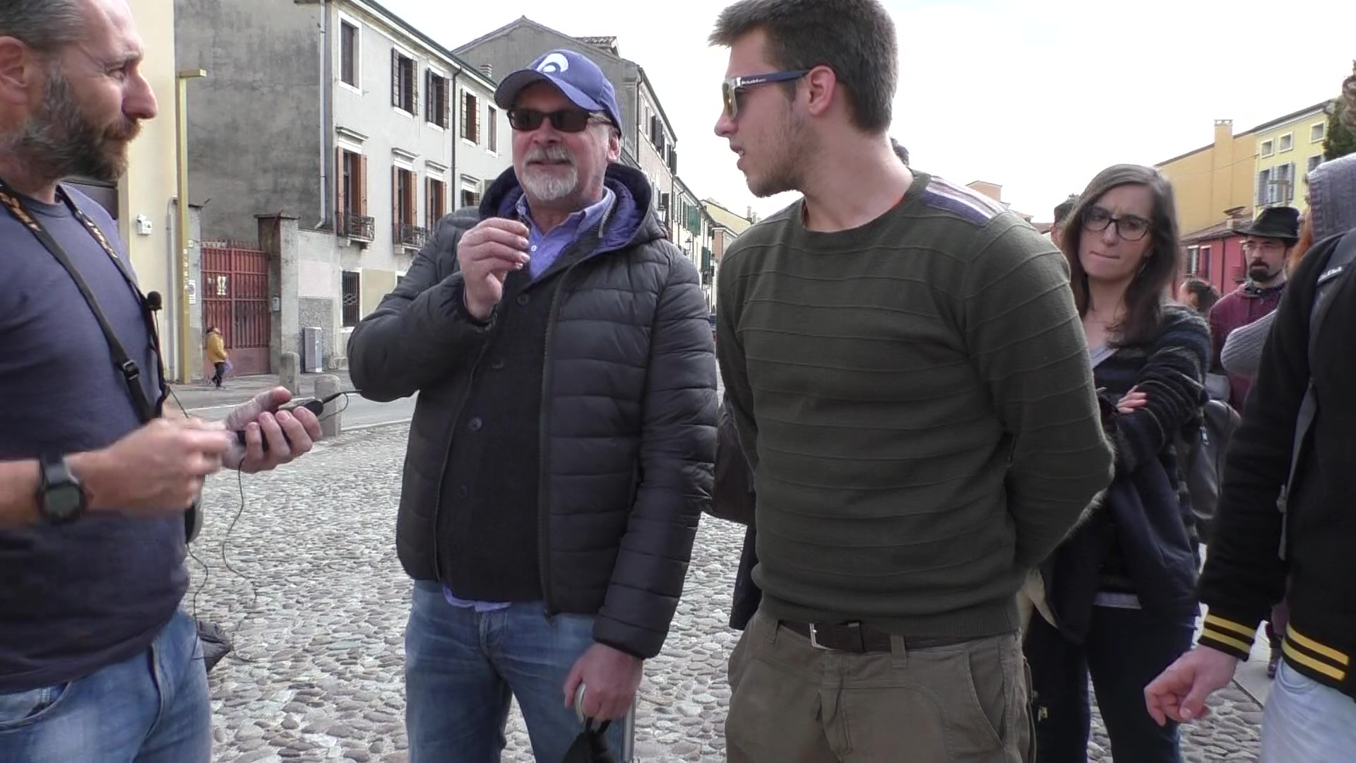
On the 5th of April 2019, on the occasion of the “Geography Night” event held in Padua and organised by the University of Padua in callaboration with Archetipo S.r.l., the project “MY GEO” has been introduced to a focus group of students.
During the presentation a discussion has been held involving all the participants and aimed at identifying the key competences related to the use of GIS: “most demanded” by the job market.
In particular the group of students and the staff of Archetipo S.r.l. focused on the definition of the key skills needed for processing images captured by drones. The key skills identified by the focus group were:
1) Management of the GIS software interface;
2) Management of photogrammetry and topography for georeferenced images;
3) Use of analysis systems, filters, plugins according to specific interests.
The outcomes of the focus group held in Padua will feed the ongoing research that will ultimately result in the “Portfolio My GEO” output.
On following some pictures of the event and its participants.