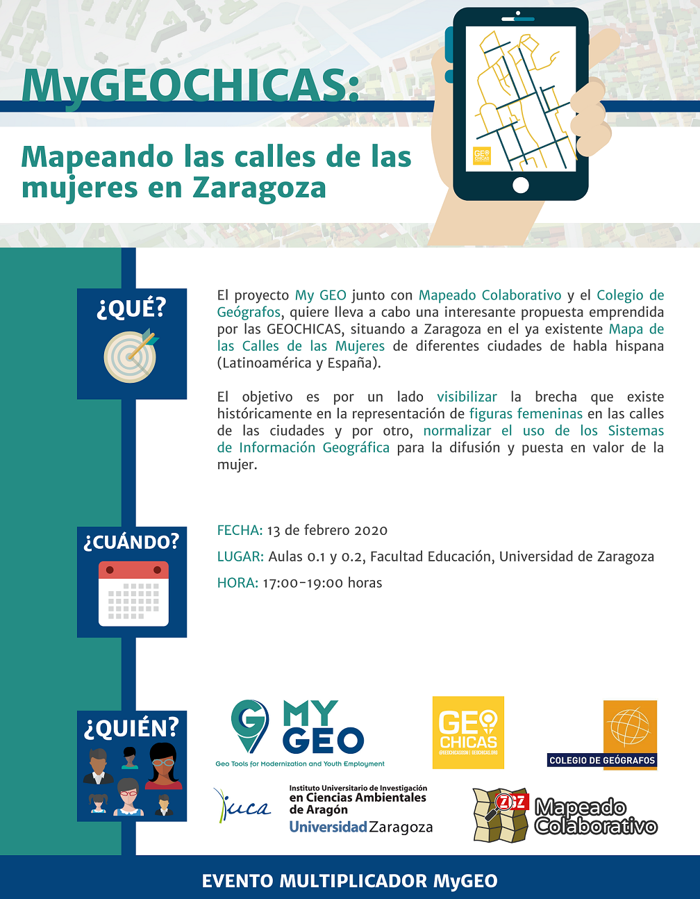
On February 13, the My GEO project “Geo Tools for Modernization and Youth Employment” ( https://www.mygeoproject.eu/ ) together with Mapeado Colaborativo and the Colegio de Geógrafos, carried out an interesting proposal in Zaragoza undertaken by GEOCHICAS ( https://geochicasosm.github.io/lascallesdelasmujeres/ ), placing Zaragoza on the existing “Mapa de las Calles de las Mujeres” of different Spanish-speaking cities (Latin America and Spain).
The objective is on the one hand to make visible the gap that exists historically in the representation of female figures in the streets of the cities and on the other, to normalize the use of Geographic Information Systems for the dissemination and enhancement of women.
Directed to : General public, University
Start time : 17:00
time : 19:00
Address : C / Pedro Cerbuna, 12., 50009, Zaragoza, Aragón
Reserve : Reservation possible but not necessary
Organized by : MyGEO Project (Geo Tools for Modernization and Youth Employment); University of Zaragoza (Department of Specific Didactics and Department of Geography and Territorial Planning); University Institute of Research in Environmental Sciences of Aragon; Collaborative Mapping; College of Geographers.
Sponsor: MyGEO Project (Geo Tools for Modernization and Youth Employment); University of Zaragoza (Department of Specific Didactics and Department of Geography and Territorial Planning); University Institute of Research in Environmental Sciences of Aragon; Collaborative Mapping; College of Geographers.
Contact email : msebas@unizar.es