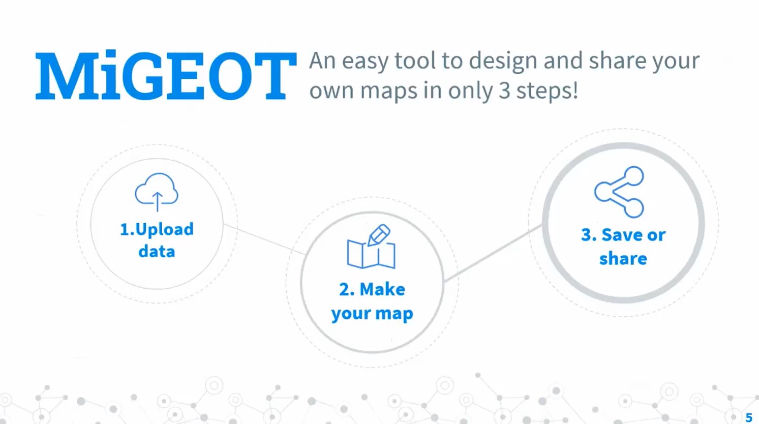
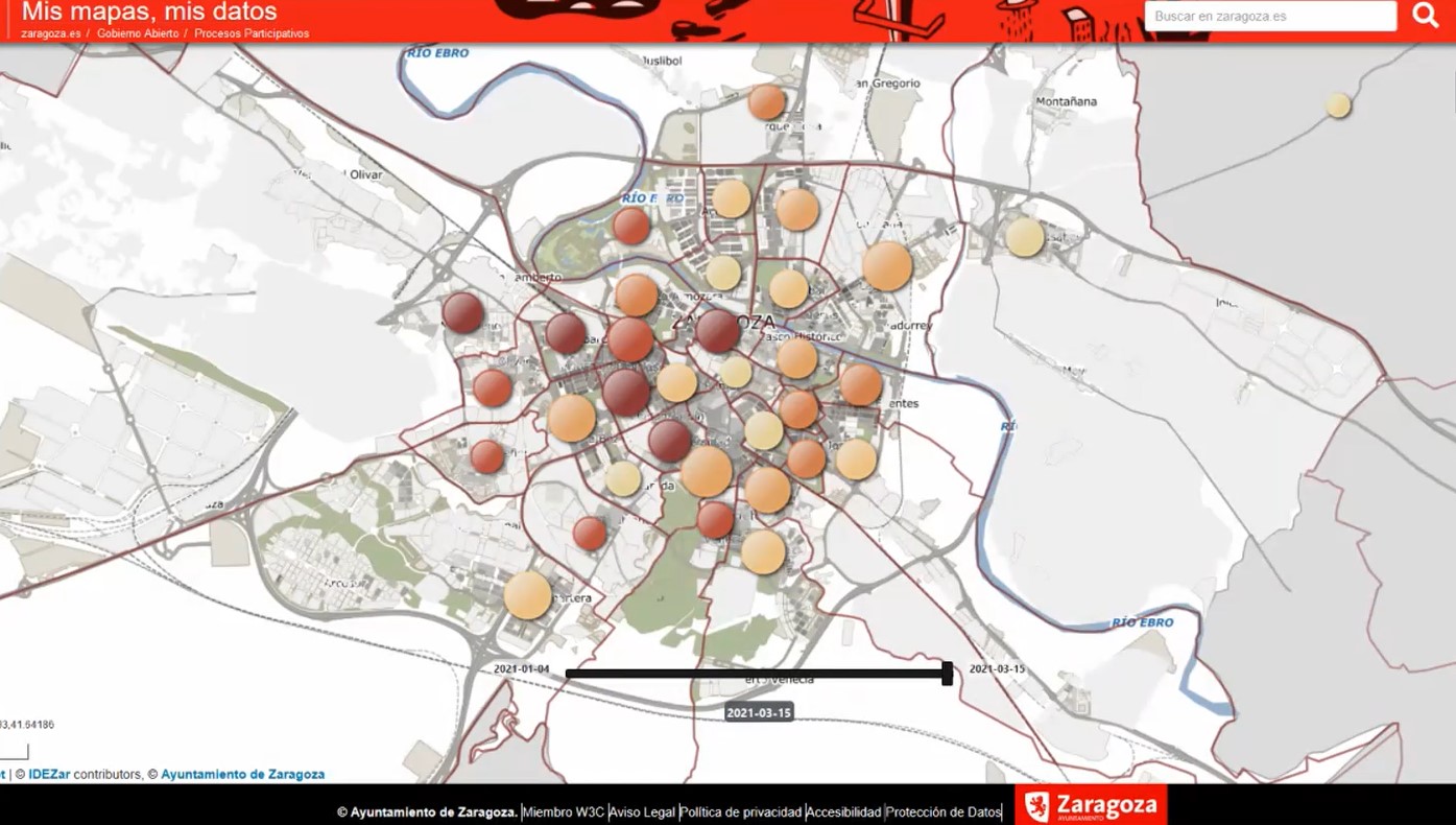
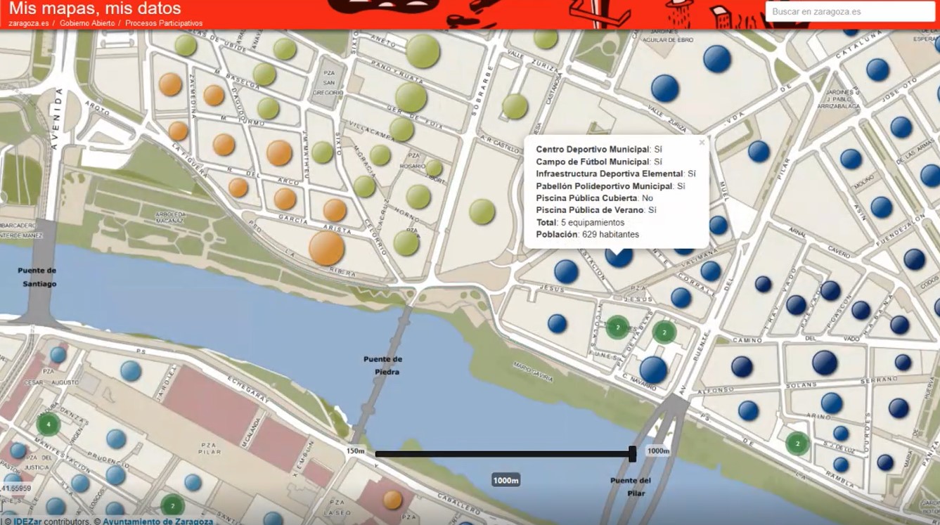
Ondrej Kratochvil, from the University of Zaragoza (Spain), presented the MiGEOT Map Viewer, that represent the result of the cooperation between academic world and companies, geography and technology experts.
This open source tool allows to create and share maps; it allows to present project results with a simplified visualization of GIS data, to use different existing profiles and to guarantee accessibility for less experienced users.