
The geographic information systems sector is affected by rapid progress towards 3D modeling. This evolution reflects the metamorphosis that the world of design and construction is experiencing in the transition from 2D to Building Information Modeling (BIM) in 3D, and signals the affirmation of the integration between GIS and BIM in a single holistic environment.
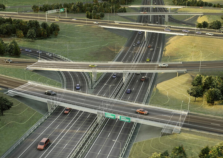
GIS data introduce a geospatial element in BIM design, so that roads and bridges can be better planned in the surrounding context.
While GIS information is necessary for infrastructure planning and management, BIM information is essential for its design and construction.
In BIM it is possible to design an object-level physical structure by drawing a door, a window or a wall. With the addition of GIS, the structure is managed in the context of a wider and more intelligent landscape. A building can thus be connected to a plot of land, services and roads.
To create smarter cities, we need to face planning decisions in a smarter way and this is why the connection between BIM and GIS is so crucial. The connection between real-time sensor systems, geographic data and modeling data improves everyone’s understanding, leading to more adequate decisions in infrastructure design at any scale.