The third Multiplier Event promoted by the MYGEO Project has been held on Tuesday the 18.5. The event was aimed at collecting good practices and experiences by Academics and professionals making use of GIS tolls in their daily work.
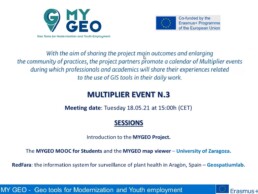
The first two sessions were held by the University of Zaragoza (Spain).
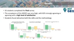
Ondrej Kratochvil, illustrated in detail one of the Intellectual Outputs of the MyGeo Project, which is called MyGeo Portfolio.
The project “MY GEO” ultimately aims at fostering the employability of students in higher education through promoting the acquisition of key skills related to the use of Geographic Information Systems (GIS) tools.
To this aim the “PORTFOLIO MY GEO” for student includes a list of key skills and GIS tools widely used by private companies in different sectors.
Each skill and tool will be linked to a training session provided in MOOC modality: those will be targeted to students and will contribute to raise their skills in making use of the listed tools.
This Intellectual Output is ultimately aimed at fostering the occupability of students in higher education.
Here the Geo Tools for Employability (Portfolio MYGEO) – till 20 December 2021
In the following session, Ondrej Kratochvil presented the MiGEOT Map Viewer, that represent the result of the cooperation between academic world and companies, geography and technology experts.
This open source tool allows to create and share maps; it allows to present project results with a simplified visualization of GIS data, to use different existing profiles and to guarantee accessibility for less experienced users.

The last topic was held by Susana Zarazaga, the general manager of GeoSpatiumLab, a SME Tech company specialized in management, publishing and visualization of geolocated information and also MyGeo Project partner.
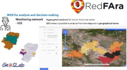
Susana Zarazaga presented RedFara, a specific tool to improve the performance, productivity and quality in decision making processes.
RedFara is a platform consisting in network of agents and knowledge around plant health and phytosanitary surveillance in Aragon (Spain). Its aim is to guarantee plant health and provide advisory services to the farmers.
RedFara is based on three fundamental pillars of the network: crop monitoring, sharing of information and cooperation between entities.
Don’t miss the next and last MY GEO Multiplier event!
MULTIPLIER EVENT N.4 – MYGEO Mooc for teachers and Story Maps – QGis application 28.5 at 17h
National Distance Education University (Spain):
Story Maps
ARCHETIPO (Italy):
QGis application for the analysis and visualization of image data for Precision Farming and for monitoring the efficiency of large photovoltaic systems
Registration Form: https://forms.gle/9oGevLb6ELRZgpJB7
To attend the sessions a registration is required.
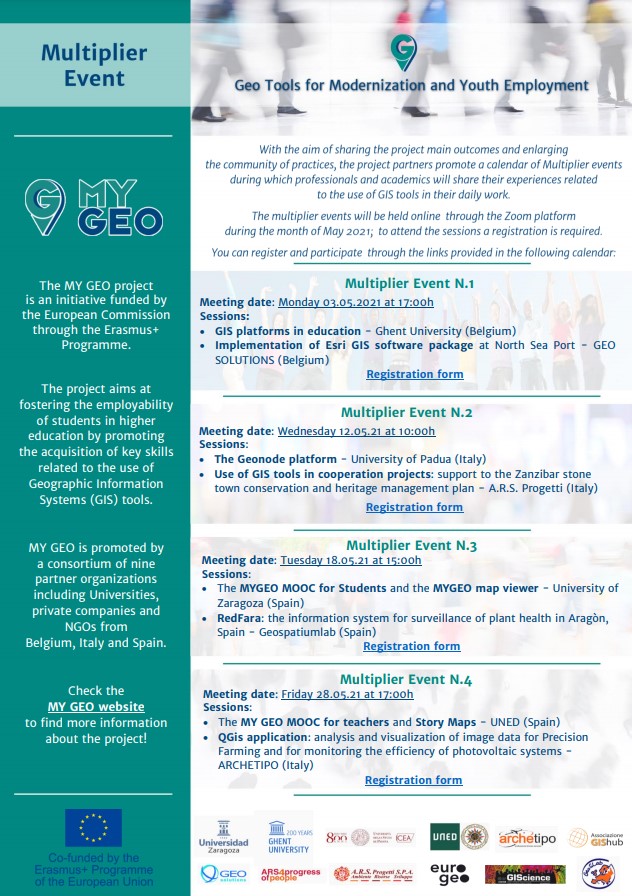
MyGeo Multiplier Event Leaflet