
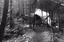
A collaborative approach to working with Homelessness
Solve homelessness and homeless camps problems with the GIS technology: a Case Study by Esri. Health and Human Services to create a…
0 Commenti6 Minuti

Northern Kentucky tackles the Opioid Epidemic
The story map provides Northern Kentucky with information to combat opioid addiction. A Case Study by Esri. Health and Human Services to…
0 Commenti4 Minuti

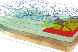
Use GIS to help children understand COVID-19
With GIS technology it is possible to explain Coronavirus to children. Mapping the epidemic and analyzing epidemiological factors promotes…
0 Commenti5 Minuti
UNESCO Bangkok, GIS and human trafficking.
Datasets regarding human trafficking are somewhat limited, making any recent literature or projects that incorporate GlS a bit uncommon,…
0 Commenti3 Minuti
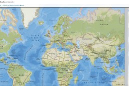
MapMaker Interactive: a useful tool to support interactive mapping
MapMaker Interactive allows you to explore different spatial phenomena by adding data layers to your base map. This map is designed to be…
0 Commenti3 Minuti
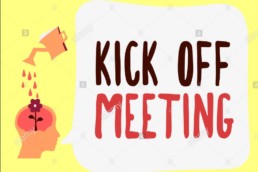
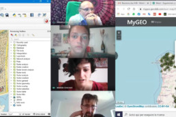
Kick-off meeting for the traineeship of students
Kick off meeting in smartworking between partners of the MYGEO project
0 Commenti1 Minuto
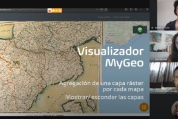
Follow up meeting with students
Follow up meeting in smartworking between students from Master in "GIScience e droni per la gestione del territorio"
0 Commenti1 Minuto
Final evaluation meeting: the conclusion of the virtual mobility between UNIPD and Geoslab
Susana, Javier and the two students Alice and Matilde partecipated to the final online meeting between UNIPD and Geoslab and tested the…
0 Commenti1 Minuti
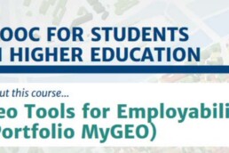
The MyGeo MOOC for students – Portfolio MyGeo is online!
From Tuesday 6th October the MyGeo MOOC for students, the first Intellectual Output of the MyGeo Project, is online.
0 Commenti2 Minuti
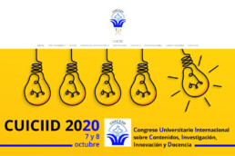
MyGeo MOOC for students at the International University Congress on content, research, innovation and teaching
The My Geo project and the MOOC for students at the International University Congress
0 Commenti1 Minuto
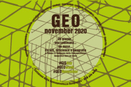
GeoNovember 2020: the third edition and the collaboration with the MyGeo project!
The month of November between Geography, GIS and GIScience: the third edition of GeoNovember !
0 Commenti1 Minuti